Products that match: Where am I, and Where Am I Going
44 Results
Note: Changing any of the the sort, count or discontinued filters below will cause the page to reload.
Operating System
Show only products that are compatible with the following operating systems.
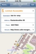
A free environmental accessibility mapping program for people with mobility disabilities, walking disabilities, and other disabilities that require that the indoor or outdoor environment be adapted to be completely accessible. The program provides information provided by other Wheelmap users about the accessibility for specific locations.
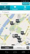
A free environmental accessibility mapping app for people with mobility disabilities, walking disabilities and other disabilities designed to find wheelchair-friendly restrooms and parking.
An indoor/outdoor navigation app that is designed to help people with visual impairments explore the world without vision.
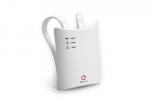
The Emfit SafeBed is a "missing person alarm" that can register when a person gets out of bed or fails to return to bed within a pre-set time. It is suitable for people who are unable to activate alarms when they need help, for example, those with dementia.
A bundled version of the Aira service which connects blind and low vision individuals with agents that can help them navigate the environment through a video link.
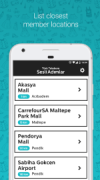
A smartphone application providing an accessible GPS to help blind or low-vision individuals explore nearby places and street intersections.
A cell phone application designed to help individuals who are visually impaired with the navigation of indoor venues.
An app to use with smart WayTag NFC tags (sold separately) to add helpful info to various items. WayTags come as stickers, magnets, buttons, and clips.
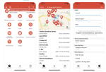
An Android and iOS app that uses crowd-sourcing to pinpoint the accessibility status of locations on an interactive map.
Accessibility software for mobile devices to create travel plans for travelers with disabilities. The app provides accessibility details for activities, accommodation, catering, transport, and services for the area chosen by the user.
A collaborative pedestrian GPS app adapted to the reduced mobility of people’s movements. Users can discover accessible locations around them and go there easily no matter their mobility. The app adapts to users' mobility and offers an accessible itinerary.
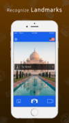
A camera with a speech that can recognize images and speak out what it finds. It recognizes almost any image, including logos, landmarks, books, products, artwork, text, and more.
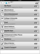
An accessible GPS-app developed for the blind and visually impaired. Paired with third-party navigation apps, BlindSquare’s self-voicing app delivers detailed points of interest and intersections for safe, reliable travel both outside and inside.
An app that verbally translates the visual world into spoken words, helping blind and visually impaired people by using the smartphone camera, artificial intelligence and OCR (Optical Character Recognition).
An app that assists the visually impaired in independent living by helping them evaluate the world around them with help from their smartphone.
A device to assist blind people to perceive the world, by transferring visual information into auditory, based on advanced artificial intelligence and computer vision technology.
A cane developed for the visually impaired that can pair with a mobile application transforming it into a smart cane.
Smart glasses that clear images directly onto the retina so users can see both the image and the background. The glasses are suitable for those with low vision and can be used for sports, live concerts, GPS navigation, and clear vision with free-focus.
An app that provides screen sharing service as well as advanced video magnifier features.

